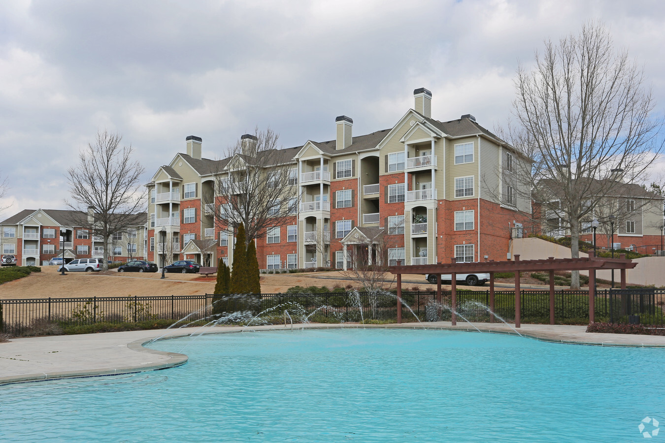
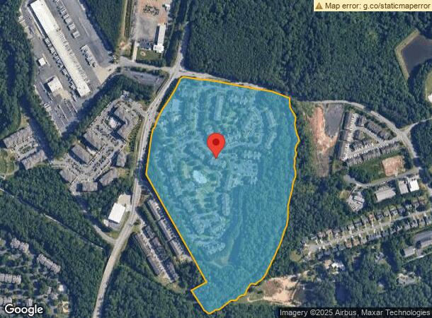
Property Record
1400 Herrington Rd, Lawrenceville, GA 30044
NEARBY LISTINGS FOR SALE OR LEASE
Property Detail
1400 Herrington Rd
Atlanta-Sandy Springs-Roswell, GA
Herrington Rd
7-042-003
TR 5 HERRINGTON RD
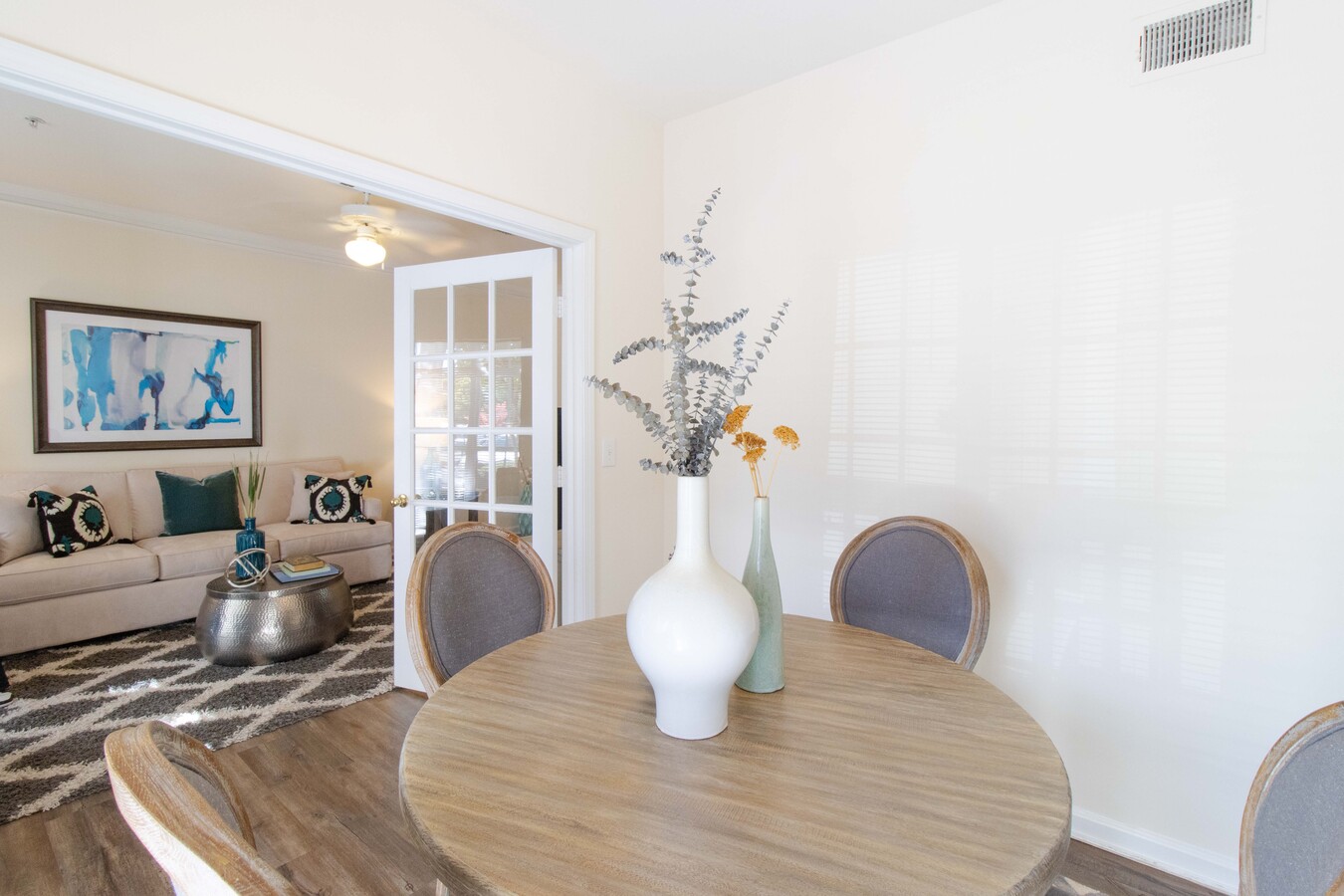
Apartment
Gwinnett
AE
Georgia
13135C0086F
42
2023
47.90 AC
2023
Outer Gwinnett County
050556
Atlanta
567,189 SF
DEMOGRAPHICS near 1400 Herrington Rd
1 Mile
3 Mile
5 Mile
2024 Total Population
15,409
100,596
251,040
2029 Population
16,092
105,178
261,543
Pop Growth 2024-2029
+ 4.43%
+ 4.55%
+ 4.18%
Average Age
33
36
37
2024 Total Households
5,494
35,114
86,196
HH Growth 2024-2029
+ 4.68%
+ 4.64%
+ 4.27%
Median Household Inc
$58,652
$61,384
$64,806
Avg Household Size
2.70
2.80
2.80
2024 Avg HH Vehicles
2.00
2.00
2.00
Median Home Value
$230,904
$268,445
$283,186
Median Year Built
1995
1995
1993
Nearby Places
- Restaurants
- Banks
- Shops
- Fitness
- Groceries
PUBLIC TRANSPORTATION
AIRPORT
Hartsfield - Jackson Atlanta International
DRIVE
WALK
Distance
Hartsfield - Jackson Atlanta International
51 min
36.3 mi
Freight Ports
Georgia Ports - Savannah
DRIVE
WALK
Distance
Georgia Ports - Savannah
308 min
271.2 mi
Nearby Properties
Address
Land Use
TOTAL SIZE
Lot Size
Zoning
Address
Land Use
TOTAL SIZE
Lot Size
Zoning
628,779 SF
97.15 AC
M1
Address
Land Use
TOTAL SIZE
Lot Size
Zoning
491,944 SF
38.60 AC
RM13
Address
Land Use
TOTAL SIZE
Lot Size
Zoning
483,319 SF
47.80 AC
RM13
Address
Land Use
TOTAL SIZE
Lot Size
Zoning
1,300,470 SF
287.48 AC
M2
Address
Land Use
TOTAL SIZE
Lot Size
Zoning
272,196 SF
44.76 AC
RM13
Address
Land Use
TOTAL SIZE
Lot Size
Zoning
327,680 SF
29.70 AC
RM13
Address
Land Use
TOTAL SIZE
Lot Size
Zoning
409,542 SF
35.94 AC
RM13
Address
Land Use
TOTAL SIZE
Lot Size
Zoning
438,488 SF
35.04 AC
RM
Address
Land Use
TOTAL SIZE
Lot Size
Zoning
379,346 SF
35.71 AC
RM13
Address
Land Use
TOTAL SIZE
Lot Size
Zoning
360,962 SF
32.67 AC
M2
Address
Land Use
TOTAL SIZE
Lot Size
Zoning
1,650,103 SF
112.95 AC
C2
Address
Land Use
TOTAL SIZE
Lot Size
Zoning
419,855 SF
29.83 AC
RM13
Address
Land Use
TOTAL SIZE
Lot Size
Zoning
403,119 SF
37.43 AC
RM
Address
Land Use
TOTAL SIZE
Lot Size
Zoning
389,385 SF
25.93 AC
RM13
Address
Land Use
TOTAL SIZE
Lot Size
Zoning
43,680 SF
20.98 AC
RM10-MULTI
Address
Land Use
TOTAL SIZE
Lot Size
Zoning
517,632 SF
77.07 AC
OI
Address
Land Use
TOTAL SIZE
Lot Size
Zoning
298,350 SF
6.41 AC
RM24
Address
Land Use
TOTAL SIZE
Lot Size
Zoning
365,351 SF
30.70 AC
RM13
Address
Land Use
TOTAL SIZE
Lot Size
Zoning
295,829 SF
22.12 AC
RM13
Address
Land Use
TOTAL SIZE
Lot Size
Zoning
834,948 SF
70.76 AC
HM
Address
Land Use
TOTAL SIZE
Lot Size
Zoning
348,681 SF
35.52 AC
RM10
Address
Land Use
TOTAL SIZE
Lot Size
Zoning
305,795 SF
29.40 AC
RM
Address
Land Use
TOTAL SIZE
Lot Size
Zoning
31,626 SF
19.80 AC
RM13-MULTI
Address
Land Use
TOTAL SIZE
Lot Size
Zoning
301,407 SF
8.80 AC
OI
Address
Land Use
TOTAL SIZE
Lot Size
Zoning
188,997 SF
8.54 AC
RM24
Address
Land Use
TOTAL SIZE
Lot Size
Zoning
300,402 SF
24.55 AC
RM13
Address
Land Use
TOTAL SIZE
Lot Size
Zoning
261,174 SF
8.11 AC
MUO
Address
Land Use
TOTAL SIZE
Lot Size
Zoning
262,434 SF
28.83 AC
RM13
Address
Land Use
TOTAL SIZE
Lot Size
Zoning
231,746 SF
20.51 AC
RM13
The World's #1 Commercial Real Estate Marketplace
Connect with us
© 2025 CoStar Group
The information above has been obtained from sources believed reliable. While we do not doubt its accuracy we have not verified it and make no guarantee, warranty or representation about it. It is your responsibility to independently confirm its accuracy and completeness. Any projections, opinions, assumptions, or estimates used are for example only and do not represent the current or future performance of the property. The value of this transaction to you depends on tax and other factors which should be evaluated by your tax, financial, and legal advisors. You and your advisors should conduct a careful, independent investigation of the property to determine to your satisfaction the suitability of the property for your needs.